A field atlas of the world's mountains
Every summit,
in three dimensions.
Real relief in 3D, the weather at the top and the 0 °C line month by month, huts, lifts and trails — for 1,500 mountains, from volcanoes to the eight-thousanders.
Real cross-sections, west to east, all at the same scale (heights exaggerated so they fit). Touch a summit to open it.
In three dimensions
The great ones, up close
Every guide opens with the mountain drawn from its real relief and a cloud-free satellite image — and you can turn it around in 3D.
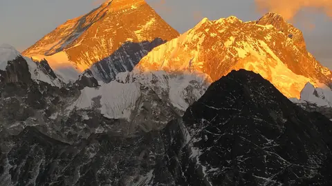
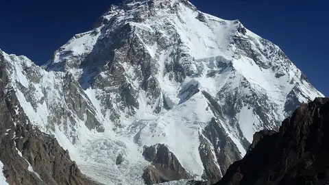
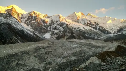
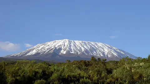
 Tanzania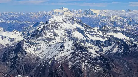
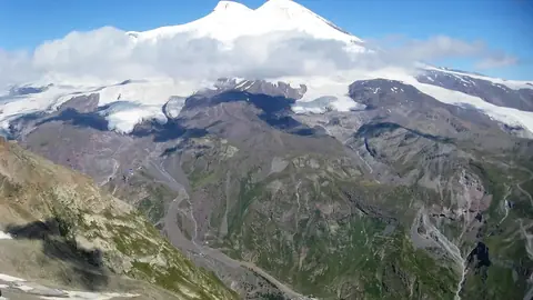
 Russia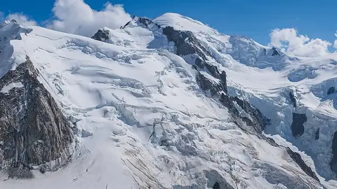
 Italy
Italy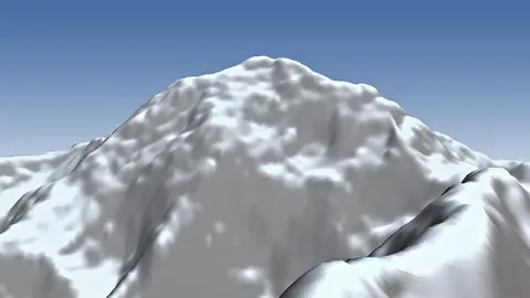
 United States
Rankings
Best for skiing, best for climbing
Two scores out of 10 for every mountain, made only from open data — and every part of them is on the mountain's page.
The best mountains for skiing
- 1Matterhorn10.0
- 2Aiguille du Midi10.0
- 3Lyskamm10.0
- 4Breithorn10.0
- 5Castor10.0
- 6Klein Matterhorn10.0
The best mountains for hiking and mountaineering
- 1Grossglockner10.0
- 2Zugspitze9.9
- 3Viso9.9
- 4Wildspitze9.9
- 5Ortler9.9
- 6Dammastock9.9
Pick a month
Where the summit thaws
The highest mountains whose summit climbs above 0 °C on an average afternoon of the month you choose.
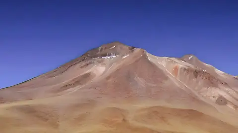 6,621 mIncahuasi
 Argentinasummit afternoons ~1 °C
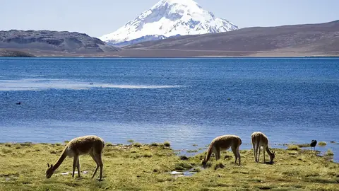 6,542 mNevado Sajama
 Boliviasummit afternoons ~1 °C
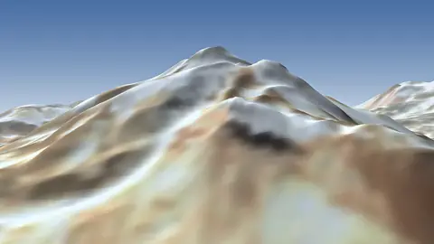 6,542 mCerro El MuertoArgentinasummit afternoons ~0 °C
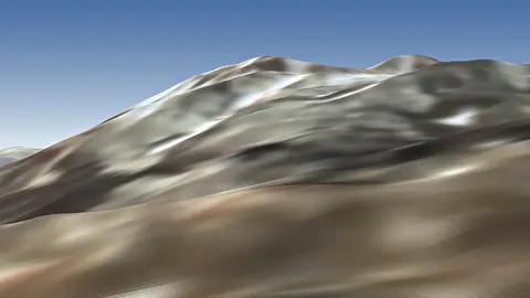 6,436 mCerro del NacimientoArgentinasummit afternoons ~2 °C
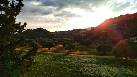 6,409 mAntofallaArgentinasummit afternoons ~4 °C
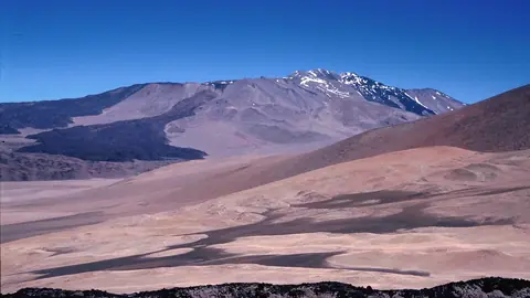 6,373 mCerro El CóndorArgentinasummit afternoons ~3 °C
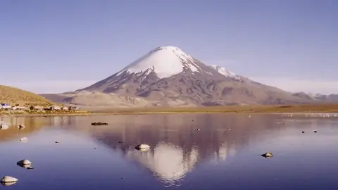 6,348 mParinacota
 Chilesummit afternoons ~1 °C
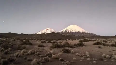 6,282 mPomerapeBoliviasummit afternoons ~2 °C6,621 mIncahuasiArgentinasummit afternoons ~0 °C6,542 mNevado SajamaBoliviasummit afternoons ~1 °C6,436 mCerro del NacimientoArgentinasummit afternoons ~1 °C6,409 mAntofallaArgentinasummit afternoons ~3 °C6,373 mCerro El CóndorArgentinasummit afternoons ~3 °C6,348 mParinacotaChilesummit afternoons ~1 °C6,282 mPomerapeBoliviasummit afternoons ~2 °C
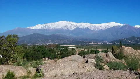 6,250 mCerro General BelgranoArgentinasummit afternoons ~1 °C6,542 mNevado SajamaBoliviasummit afternoons ~1 °C6,409 mAntofallaArgentinasummit afternoons ~1 °C6,373 mCerro El CóndorArgentinasummit afternoons ~1 °C6,348 mParinacotaChilesummit afternoons ~2 °C6,282 mPomerapeBoliviasummit afternoons ~2 °C
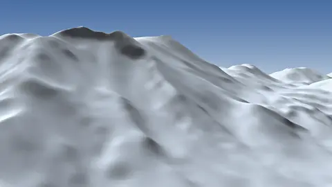 6,233 mPularChilesummit afternoons ~2 °C
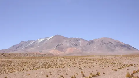 6,176 mAucanquilchaChilesummit afternoons ~1 °C
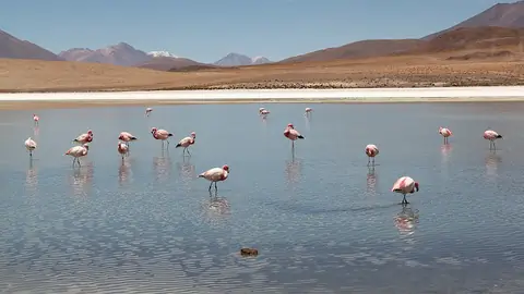 6,145 mSan PedroChilesummit afternoons ~3 °C6,542 mNevado SajamaBoliviasummit afternoons ~0 °C6,348 mParinacotaChilesummit afternoons ~1 °C6,282 mPomerapeBoliviasummit afternoons ~1 °C6,145 mSan PedroChilesummit afternoons ~1 °C
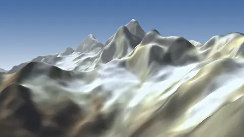 6,094 mJirishanca
 Perusummit afternoons ~1 °C
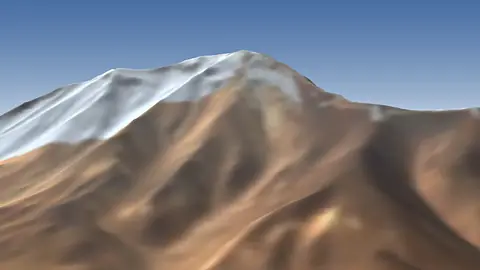 6,092 mSan PabloChilesummit afternoons ~1 °C
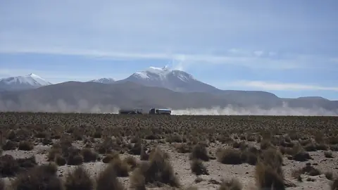 6,071 mGuallatiri, ChileChilesummit afternoons ~2 °C
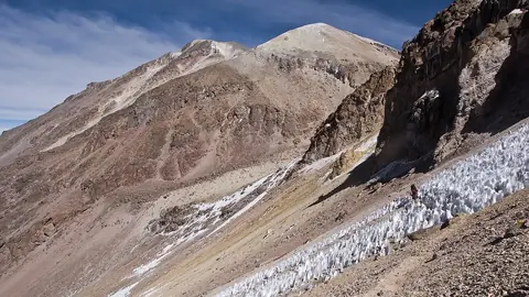 6,057 mChachaniPerusummit afternoons ~2 °C
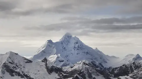 6,369 mHuantsánPerusummit afternoons ~0 °C
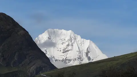 6,344 mSiula GrandePerusummit afternoons ~0 °C
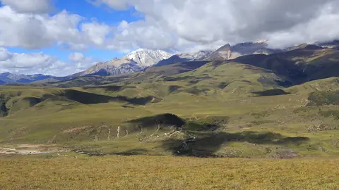 6,204 mMount Genyen
 Chinasummit afternoons ~1 °C
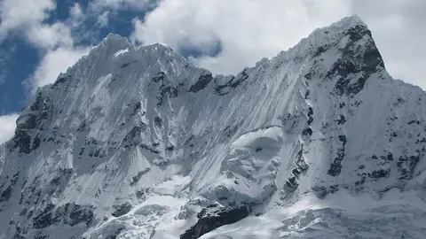 6,108 mChacrarajuPerusummit afternoons ~0 °C6,094 mJirishancaPerusummit afternoons ~2 °C6,057 mChachaniPerusummit afternoons ~1 °C
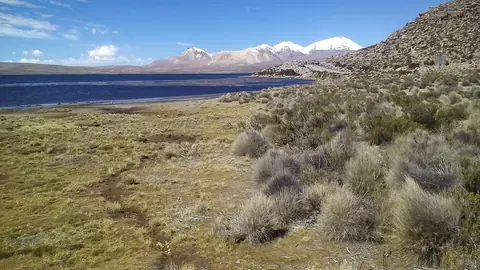 6,052 mAcotangoBoliviasummit afternoons ~1 °C
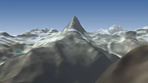 6,025 mArtesonrajuPerusummit afternoons ~0 °C
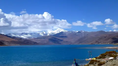 7,206 mNoijin KangsangChinasummit afternoons ~0 °C
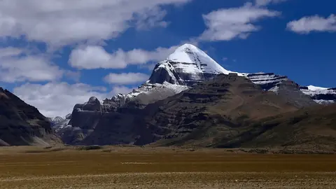 6,638 mMount KailashChinasummit afternoons ~1 °C6,344 mSiula GrandePerusummit afternoons ~0 °C6,204 mMount GenyenChinasummit afternoons ~4 °C
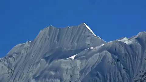 6,189 mImja Tse
 Nepalsummit afternoons ~1 °C
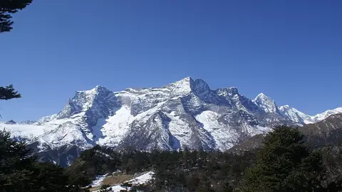 6,187 mKongde RiNepalsummit afternoons ~1 °C
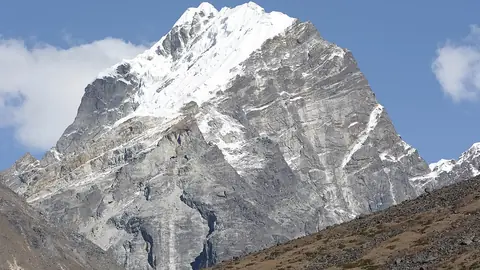 6,145 mLobucheNepalsummit afternoons ~1 °C6,094 mJirishancaPerusummit afternoons ~2 °C7,206 mNoijin KangsangChinasummit afternoons ~0 °C
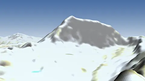 7,095 mLunpo GangriChinasummit afternoons ~1 °C
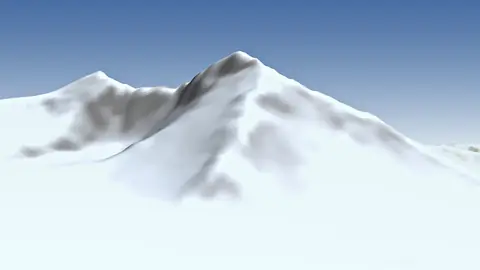 6,973 mUlugh MuztaghChinasummit afternoons ~0 °C
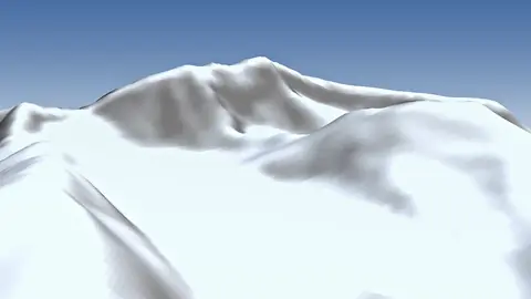 6,860 mBukadaban FengChinasummit afternoons ~0 °C
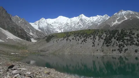 6,830 mChongra Peak
 Pakistansummit afternoons ~1 °C6,638 mMount KailashChinasummit afternoons ~4 °C
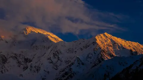 6,608 mGanalo PeakPakistansummit afternoons ~2 °C
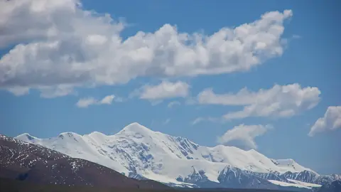 6,282 mAmne MachinChinasummit afternoons ~2 °C6,638 mMount KailashChinasummit afternoons ~3 °C6,608 mGanalo PeakPakistansummit afternoons ~1 °C6,369 mHuantsánPerusummit afternoons ~0 °C6,344 mSiula GrandePerusummit afternoons ~1 °C6,282 mAmne MachinChinasummit afternoons ~2 °C
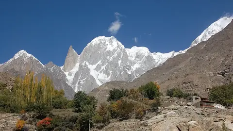 6,270 mHunza PeakPakistansummit afternoons ~1 °C6,204 mMount GenyenChinasummit afternoons ~3 °C6,189 mImja TseNepalsummit afternoons ~1 °C6,542 mNevado SajamaBoliviasummit afternoons ~0 °C6,369 mHuantsánPerusummit afternoons ~0 °C6,348 mParinacotaChilesummit afternoons ~0 °C6,344 mSiula GrandePerusummit afternoons ~1 °C6,282 mPomerapeBoliviasummit afternoons ~1 °C6,204 mMount GenyenChinasummit afternoons ~1 °C6,108 mChacrarajuPerusummit afternoons ~1 °C6,094 mJirishancaPerusummit afternoons ~2 °C6,542 mNevado SajamaBoliviasummit afternoons ~2 °C
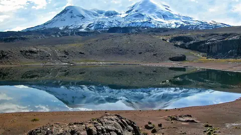 6,425 mCoropunaPerusummit afternoons ~0 °C
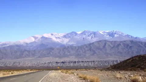 6,380 mNevado de CachiArgentinasummit afternoons ~1 °C6,369 mHuantsánPerusummit afternoons ~0 °C6,348 mParinacotaChilesummit afternoons ~2 °C6,344 mSiula GrandePerusummit afternoons ~1 °C6,282 mPomerapeBoliviasummit afternoons ~2 °C6,233 mPularChilesummit afternoons ~0 °C6,542 mNevado SajamaBoliviasummit afternoons ~3 °C6,425 mCoropunaPerusummit afternoons ~1 °C6,409 mAntofallaArgentinasummit afternoons ~2 °C6,380 mNevado de CachiArgentinasummit afternoons ~2 °C6,373 mCerro El CóndorArgentinasummit afternoons ~1 °C6,369 mHuantsánPerusummit afternoons ~0 °C6,348 mParinacotaChilesummit afternoons ~3 °C6,344 mSiula GrandePerusummit afternoons ~0 °C6,621 mIncahuasiArgentinasummit afternoons ~1 °C6,542 mNevado SajamaBoliviasummit afternoons ~2 °C6,436 mCerro del NacimientoArgentinasummit afternoons ~1 °C6,409 mAntofallaArgentinasummit afternoons ~4 °C6,380 mNevado de CachiArgentinasummit afternoons ~1 °C6,373 mCerro El CóndorArgentinasummit afternoons ~3 °C6,348 mParinacotaChilesummit afternoons ~2 °C6,282 mPomerapeBoliviasummit afternoons ~3 °C
Roofs of the world
The highest point of each continent
The summits that climbers collect — with their real profiles.











How we know
Built on open data
Every number on Peakyas comes from a public, citable dataset — the same ones scientists and mapmakers use. Nothing is invented, and nothing is a forecast.
- Copernicus DEMthe world's relief every 30 m, from the TanDEM-X satellites
- NASA POWERtemperature, rain and sunshine since 1991
- Wikidatanames, heights and prominence in every language
- OpenStreetMaphuts, lifts, trails and glaciers
- Sentinel-2a cloud-free picture of the Earth (2016)
The family
Do you prefer beaches, lakes, mountains, waterfalls, islands, rivers or canyons?
Same idea, other landscapes: field atlases built on open data, month by month, in seven languages.
 beaches
 Find your beach: sea temperature, sun and swimming month by month.Visit
  lakes
lakes Every lake on Earth: water temperature, ice, depth and the shore.Coming soonVisit
  mountains
 Every summit in 3D: summit weather, the 0 °C line, huts and trails.You are here
 waterfalls
 Every waterfall: height, flow month by month and when it roars.Coming soonVisit
  islands
 Every island from the sea up: size, sea temperature, ferries and 3D.Coming soonVisit
  rivers
 Every river from source to sea: the journey, the flow and the basin in numbers.Coming soonVisit