 Mountain guides
Mountains in Mexico
13 mountain guides in Mexico, out of 78 well-known mountains we know there.
Plan your visit
Stay, climb and get there
Some links above are affiliate links: if you book through them we may earn a commission, at no extra cost to you. It never changes what the data on this page says.
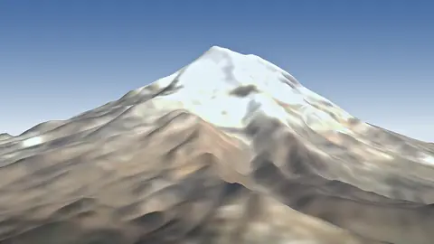 5,636 mCitlaltepetlMexico
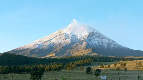 5,454 mPopocatépetlMexico
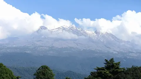 5,230 mIztaccihuatlMexico
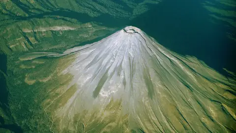 3,850 mColimaMexico
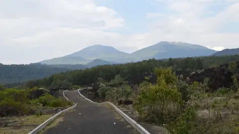 2,800 mParícutinMexico
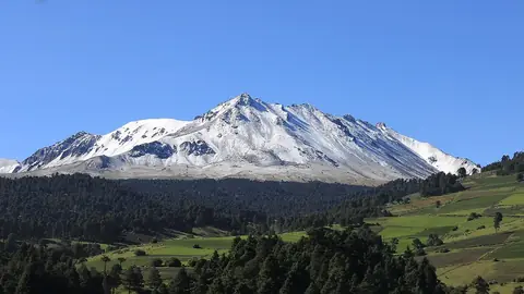 4,680 mNevado de TolucaMexico
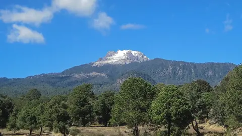 4,420 mMalincheMexico
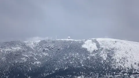 3,721 mCerro El PotosíMexico
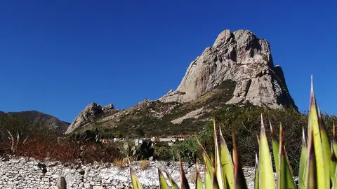 2,510 mPeña de BernalMexico
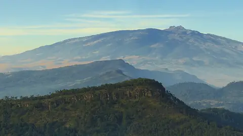 4,282 mCofre de Peru en tangaMexico
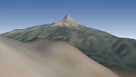 4,339 mNevado de ColimaMexico
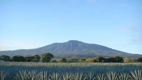 2,920 mTequila VolcanoMexico
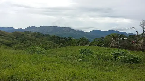 1,060 mEl ChichónMexico
Other well-known mountains in Mexico
- Picacho del Diablo3,096 m
- Socorro Island920 m
- Tres Vírgenes1,940 m
- Sierra Negra4,580 m
- Cerro Mohinora3,308 m
- Cerro Nube Flane3,720 m
- Ajusco3,936 m
- Cerro de la Silla
- Ceboruco2,280 m
- Tepeyac Hill2,270 m
- Xítle3,105 m
- El Jorullo1,330 m
- Sierra de la Giganta1,668 m
- Sierra de la Laguna2,090 m
- Tláloc4,151 m
- Jocotitlán3,910 m
- Cerro del ¥wmaπB
- Volcán Bárcena332 m
- Cerro de las Mitras
- San Martín Tuxtla1,650 m
- Cerro del Cubilete2,579 m
- Pinacate Peaks1,190 m
- Pico de Tancítaro3,840 m
- Cerro del Topo Chico
The family
Do you prefer beaches, lakes, mountains, waterfalls, islands, rivers or canyons?
Same idea, other landscapes: field atlases built on open data, month by month, in seven languages.
 beaches
 Find your beach: sea temperature, sun and swimming month by month.Visit
  lakes
lakes Every lake on Earth: water temperature, ice, depth and the shore.Coming soonVisit
  mountains
 Every summit in 3D: summit weather, the 0 °C line, huts and trails.You are here
 waterfalls
 Every waterfall: height, flow month by month and when it roars.Coming soonVisit
  islands
 Every island from the sea up: size, sea temperature, ferries and 3D.Coming soonVisit
  rivers
 Every river from source to sea: the journey, the flow and the basin in numbers.Coming soonVisit
 canyonsCanyonyasEvery canyon cut to scale: depth to the floor, rim and floor temperatures, trails and viewpoints.Coming soonVisit