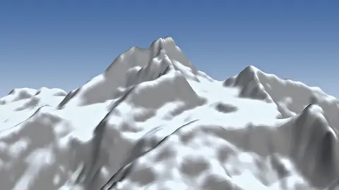
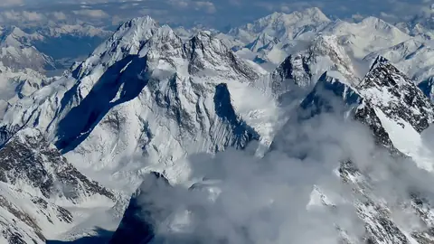
Mountain
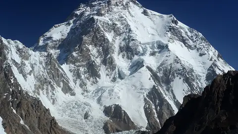
Muztagh Tower is a mountain in the Baltoro Muztagh (Pakistan). Its summit stands 7,273 m above sea level. Its prominence — how far it rises above the highest saddle linking it to a taller summit — is 1,707 m.
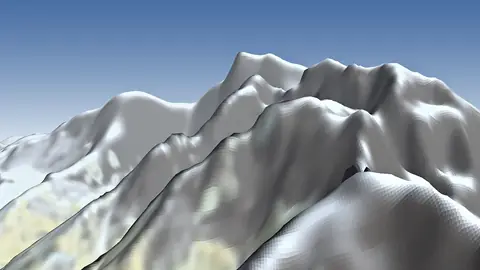
From the lowest point within 5 km (4,647 m), it rises 2,626 m. The steepest side is the north-east face: 59° on average over the first kilometre. In places the ground near the top reaches 76° — terrain for climbers, not walkers.
Muztagh Tower (also spelled Mustagh Tower) is a granite spire of 7,273 m in the Baltoro Muztagh, a sub-range of the Karakoram, on the border between Gilgit-Baltistan in Pakistan and Xinjiang in China. It rises between the Baltoro and Sarpo Laggo glaciers. In 1909 Vittorio Sella photographed it from the upper Baltoro, and the image made it famous as a slender, almost unclimbable tooth. It was first climbed on 6 July 1956 by a British team of John Hartog, Joe Brown, Tom Patey and Ian McNaught-Davis, who approached from the west by the Chagaran Glacier and followed the Northwest Ridge. A French team climbed it from the east five days later. It has been climbed only a handful of times since.
The tower is a serious technical objective for expert mountaineers. Visitors who only want to see the area follow the standard Baltoro trek: a drive from Skardu to Askole, then several days on foot up the Braldu valley and the Baltoro Glacier towards Concordia, usually 14 to 18 days for the round trip. Trekking and climbing in Gilgit-Baltistan are normally arranged through a licensed Pakistani operator, who handles the permits. The main season runs from about June to September, with July and August generally the most stable.
Read more on Wikipedia
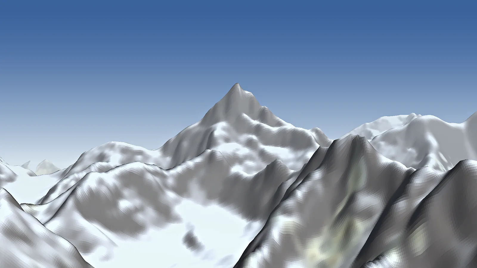

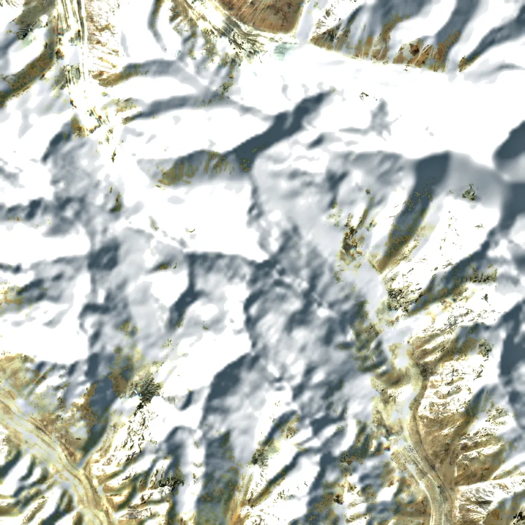

 China