Mountain in Antarctica
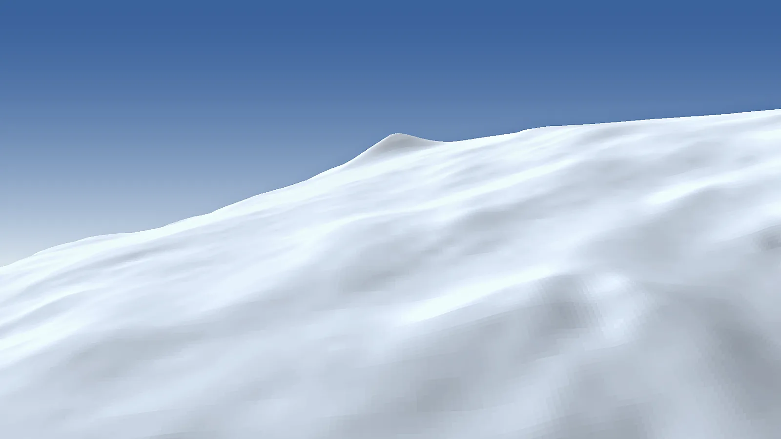
Mount Siple is a mountain in Antarctica. Its summit stands 3,110 m above sea level. Its prominence — how far it rises above the highest saddle linking it to a taller summit — is 3,110 m, and the nearest higher ground is 363 km away.
From the lowest point within 5 km (1,870 m), it rises 1,240 m. The steepest side is the east face: 22° on average over the first kilometre.
Mount Siple is a large shield volcano on Siple Island, off the Bakutis Coast of Marie Byrd Land in West Antarctica, separated from the mainland by the Getz Ice Shelf. It stands about 3,110 m high and is part of the Marie Byrd Land Volcanic Province. A caldera roughly 4 by 5 km wide marks the summit, and small tuff cones lie on the lower flanks. Its volume is comparable to that of Mount Erebus, and its youthful look suggests it may have erupted during the last 12,000 years, although the date of the last eruption is unknown and the volcano is regarded as potentially active. It is named after Paul A. Siple, the American polar explorer and geographer.
There is no tourism here and no trail, hut or established route. The island is one of the most remote places on Earth, far from any research station, and the mountain is believed to be unclimbed. It is seen mostly from ships and from the air, and it has been reached only on rare scientific voyages: in 2017 the Antarctic Circumnavigation Expedition recorded an Adélie penguin colony nesting on its slopes. The austral summer, roughly December to February, is the only practical period for any work in the region.
Read more on Wikipedia