Hiking & mountaineering
6.0/10
Difficulty to the top
Hike
Most path sections around the top are T2 on the SAC hiking scale.
Indicative only — never a safety assessment. Conditions change: ask local guides and check the forecast.
- 0.1/2.50 waymarked routes and 2 path sections nearby
- 1.5/1.511 huts and shelters
- 1.7/21,667 m of ascent from the valley
- 1.2/1.5599 m of prominence
- 1.5/1.510 months with summit afternoons above −5 °C
- 0.0/1via ferratas, climbing and glaciers
 Kosovo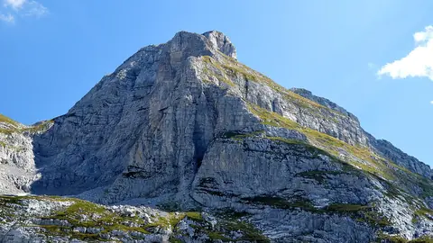
 Albania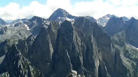
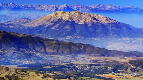
 North Macedonia