Mountain in Jammu and Kashmir, India
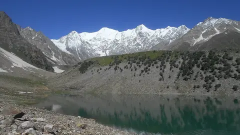
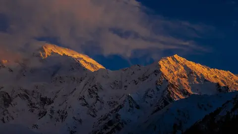
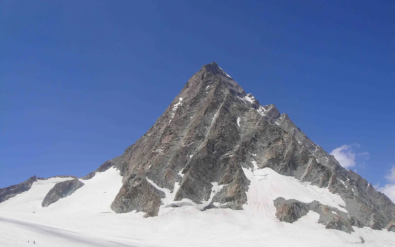
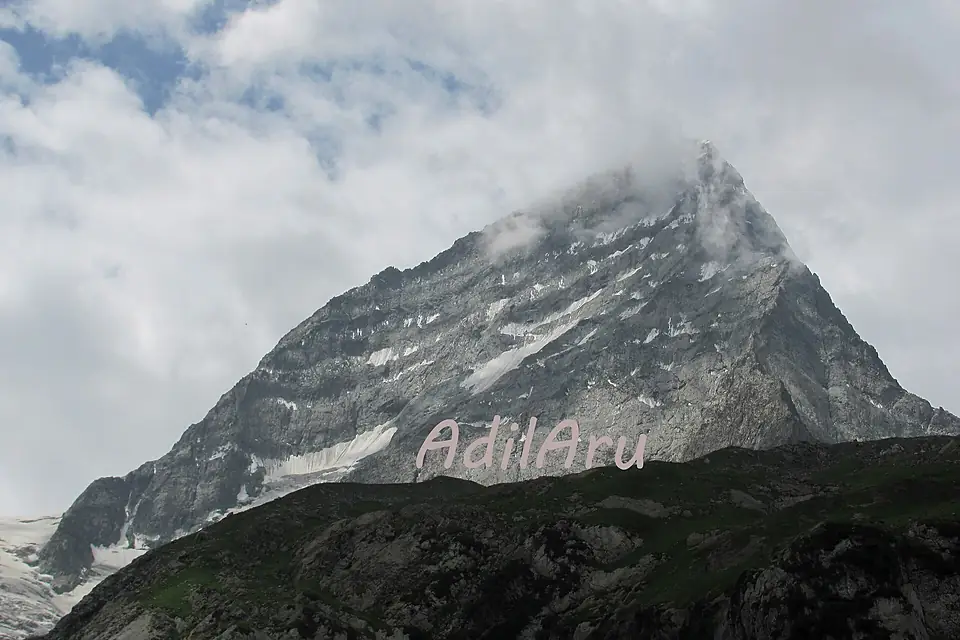
Kolahoi Peak is a mountain in the Himalayas (India). Its summit stands 5,425 m above sea level. Its prominence — how far it rises above the highest saddle linking it to a taller summit — is 1,585 m.
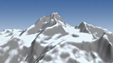
From the lowest point within 5 km (3,347 m), it rises 2,078 m. The steepest side is the north-east face: 48° on average over the first kilometre. In places the ground near the top reaches 69° — terrain for climbers, not walkers.
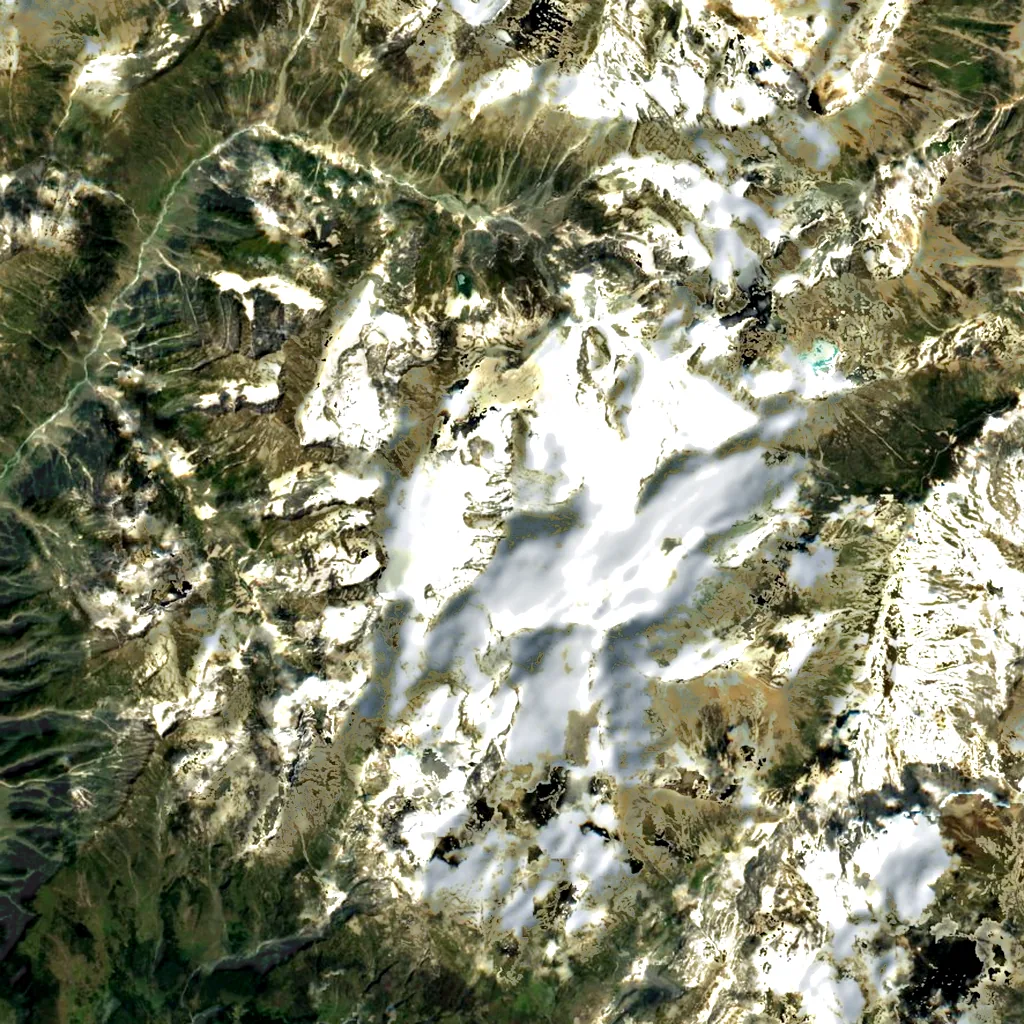
The nearest town is Pahalgam, 16 km away at 2,155 m: 3,270 m below the summit.
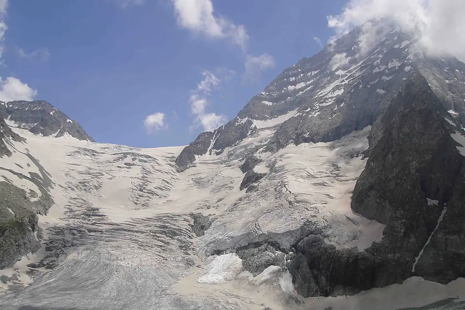
Kolahoi Peak, also known as Mount Kolahoi, is the highest mountain of the Kashmir Valley region, rising to 5,425 m in the Great Himalayan range above the Lidder Valley in Anantnag district, Jammu and Kashmir, India. The village of Aru, near Pahalgam, is the usual starting point. The mountain is a steep, pyramid-shaped peak carrying the Kolahoi Glacier, which feeds the Lidder River and has shrunk markedly since the 1960s. It was first climbed in 1912 by a British party led by Dr Ernest Neve, and its southern face is the easier side of the mountain.
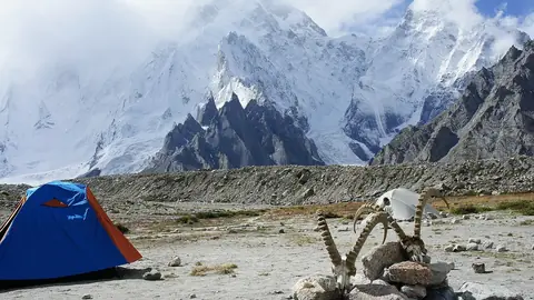
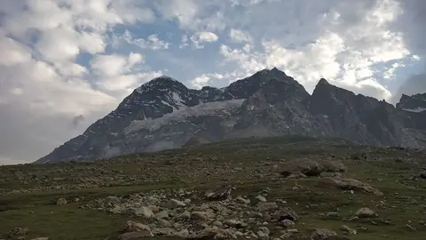
Most visitors never climb the summit and instead trek to the glacier. From Aru the trail follows the Lidder River through pine forest and meadows to Lidderwat, roughly 10 km away, before continuing towards the glacier; operators usually plan four to six days for the round trip. The main season runs from about July to September, once the snow has gone from the lower valley. The summit itself is a serious alpine climb, and rockfall has caused fatalities. Most trekkers go with a local guide or agency in Pahalgam, and it is worth checking current travel advice for Jammu and Kashmir before booking.
Read more on Wikipedia
 Pakistan